WeatherFlow Contributing to LIDAR Wind Profiling Project
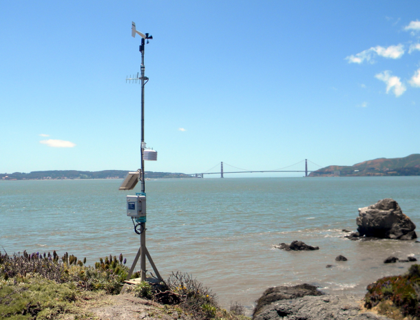
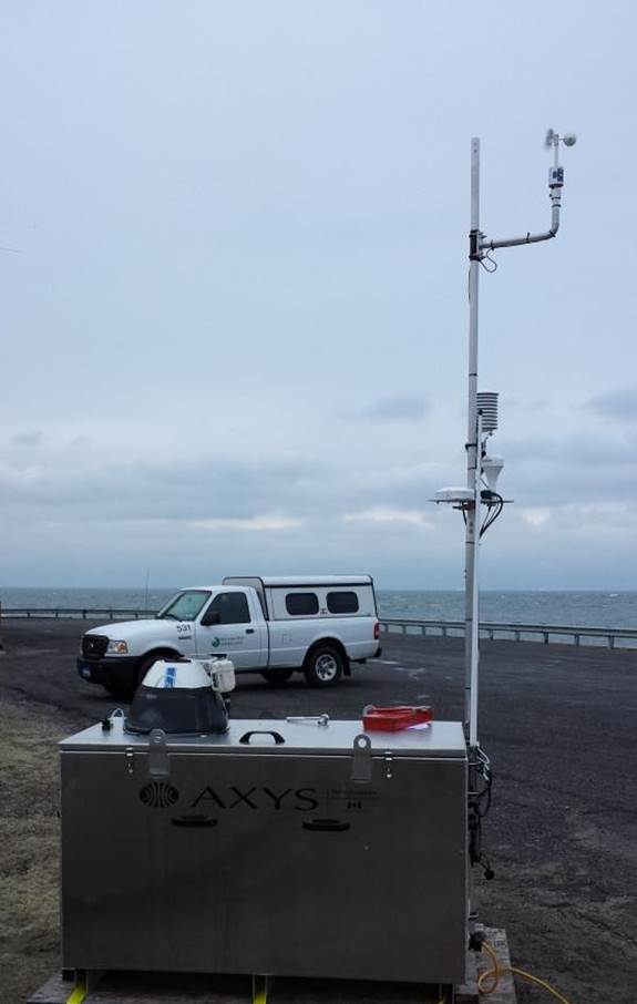
Poquoson, VA – WeatherFlow, in collaboration with the Virginia Tech Advanced Research Institute, is studying how to improve computer forecast model performance at wind turbine heights. The project seeks to develop a wind monitoring and forecasting system for offshore wind energy, particularly across the coastal Mid-Atlantic region. In order to collect wind speed and directional […]
WeatherFlow Contributing to LIDAR Wind Profiling Project Read More »