
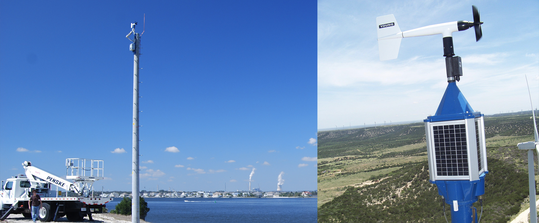
The majority of WeatherFlow’s ProNet consists of stations designed to measure weather parameters near the ground or water surface with a typical ideal agl height of 10 meters. This is true of most weather station networks. Over the last eight years, WeatherFlow has expanded the nature of the network to address the need to understand the weather further up in the boundary layer.
Wind Energy Mesonet
As commercial scale wind turbines now reach hub heights of 80 and 100 meters, there is a need for a broadly spaced network of sensors to sense and report wind and weather conditions at least up to hub height, and ideally to the top of the swept zone and above. Building on our experience operating weather observing networks and installing a variety of sensors on towers and other platforms, WeatherFlow has worked actively with several partners to install and operate stations to support these needs.
WeatherFlow Wind Energy Mesonet TritonSensor configurations that are being pursued include traditional anemometry mounted on existing commercial tall towers and dedicated meteorological towers, plus remote sensing technologies like SODAR and LIDAR profilers. Data from the network of sensors will be consolidated and provided to operators for use in resource assessment, load planning, operational scheduling, and situational awareness of weather hazards like shear, turbulence, and severe weather.